
Knockamenny Bens, Malin, Co. Donegal, Ireland
Jen's Gems | Stories Behind the Places · No. 1
By Jennifer McLaughlin-Doherty
One of the prettiest views in all of Ireland is right here on the Inishowen Peninsula, near the village of Malin in Co. Donegal. From Knockamenny Bens, you can follow the curve of Five Fingers Strand to the mouth of Trawbreaga Bay. The beach takes its name from five finger-like sea stacks at its northern end. Behind the strand, some of the sand dunes rise more than 30 metres and are thought to be among the highest in Europe.
Look a little closer and you’ll spot St. Mary’s Church at Lagg, its white walls tucked into the green below. It’s the sort of view that makes people stop halfway through a conversation. Of course, if you’re walking with an alpaca, the decision to stop may already have been made for you.
I wanted to begin my new series Jen's Gems close to home. There’s a story here that takes us from the name of a hill to an old monastery, from a family’s piece of oak to the churchlands that once supported a community. And you can start to get your bearings in it all from one spot above the bay. It is somewhere that today you can take a unique walk over those lands with a furry friend!
Hill of the Monks
Knockamenny is known as the Hill of the Monks. In Our Inis Eoghain Heritage, local historian, Brian Bonner, gives the Irish form Cnoc an Mhanaigh and asks whether the hill once held a hermitage attached to the larger monastic foundation at neighbouring Killourt. A hermitage would have been a place for retreat and prayer. Bonner drew on the place name, the proximity of Killourt and local traditions of an old monastery. The hermitage remains a possibility, but there is more to go on when we turn from the hill itself to the land around it.
Killourt, also recorded as Cullort, Kullourt, Culoort and Cowleourt, is among the names you’ll meet when following that trail. Bonner describes how most of the old monastery’s lands passed to the Cistercian abbey at Macosquin in County Derry. He thought those lands probably included what we now know as Killourt, Knockamenny and part of Lagg.
What the people of Killourt owed
In the records around 1610, the people occupying the former monastic lands are called the Munterdowanes. They owed Macosquin Abbey six shillings and eight pence Irish each year. To O’Dochartaigh they owed four meathers of butter and eight of meal. A meather was a vessel that could be used as a measure. I always pause at the description of the containers of butter and meal. You can picture the work that went into producing what was owed, and here were an abbey in County Derry and a Gaelic lord in Inishowen, both drawing dues from the same stretch of countryside.
A meather
Made of sycamore, this is a form of drinking vessel unique to Ireland known as a mether. Feasting was an integral part of medieval Irish society. Wine, ale, mead, broth and milk were consumed with the food. Under the king’s or chieftain’s direction the four handled mether was passed in a 'full circuit' of the banqueting hall and guests were expected to drink moderately so that the mether could complete the circuit before the contents were drained.
Although individual examples are hard to date, a mether with jewelled silver mounts, dated 1493 made for a Maguire Lord of Fermanagh confirms their medieval date.
The four handled mether was also used in the design of the Gaelic Athletic Association’s MacCarthy Cup, made from silver and awarded annually to the winners of the All-Ireland Senior Hurling Championship. A mether (also spelled meather or meadar, from the Irish word meaning "measure") typically stood 6 to 12 inches high and held a capacity of about 1 to 3 pints.
Liam MacCarthy Cup replica presented to Jimmy Doyle. Photograph by Lár na Páirce, CC BY 3.0.
Munterdowanes
The name "Munterdowanes" is not a single individual's surname, but an anglicised collective sept or clan name derived from the Irish Muintir Dhubháin (or possibly Muintir Dhuibhín), meaning "the people/family of Dubhán" (or Duibhín).
It appears in English Crown records from the Plantation era—specifically the 1609 Inquisition of Lifford (published in the Patent Rolls of James I around 1610)—which surveyed church and abbey lands in Inishowen.
Linguistic & Etymological Breakdown
The Prefix (Munter-): Comes from the Irish word Muintir, meaning "people," "family," "community," or "sept". English clerks in Ulster routinely transcribed Muintir as Munter- or Mointer- when recording local Gaelic kinship groups holding church land (for example, Munterheiles, Mointergallon, and Munterlessets appear in the same document).
The Root (-dowanes): Represents a phonetic anglicisation of the Gaelic surname Ó Dubháin ("descendant of Dubhán," a diminutive of dubh meaning "dark" or "black") or Ó Duibhín (a closely related Ulster form). The final -s is an English pluralisation added to denote the whole family group.
Historical Context in Inishowen (c. 1609–1610)
Role as Church Tenants: In the Inquisition at Lifford (1609), the Mounterdowanes are listed as the hereditary occupiers of Cowleourt Grange (two quarters of land in Inishowen, likely corresponding to Culmore or a nearby grange along Lough Foyle).
Abbey Connection: Those two quarters of land historically belonged to Moycoskin Abbey (Macosquin, a Cistercian abbey near Coleraine in Co. Derry). The Mounterdowanes paid an annual rent of 6 shillings and 8 pence to the abbey, alongside a tribute (coshering) of 4 meathers of butter and 8 meathers of meal to the local Gaelic lord, O'Doherty.
Modern Equivalents
As Gaelic collective sept names fell out of use in English legal records during the 17th and 18th centuries, families belonging to Muintir Dhubháin / Muintir Dhuibhín adopted standard individual anglicised surnames. Depending on local pronunciation in Donegal and Ulster, descendants of this sept typically bear surnames such as:
Duane / Dwane / Doane
Devine / Divine
Downes
Doughan / Doohan (from the closely related Donegal surname Ó Duacháin, which frequently merged with Ó Dubháin in anglicisation).
Cahir O’Dochartaigh and the families of Killourt
The Donegal County Archives account of Malin Head records that Cahir Rua O’Dochartaigh bought Killourt after its confiscation in 1604. To understand why he would have wanted to hold on to it, look at the terrain. Water and bog made the northern end of Inishowen difficult to approach. An early account describes a place of refuge beyond a river, where access from the rest of the peninsula could be cut off. Dunargus, the promontory near Killourt, has been suggested as the site of an O’Doherty stronghold, though its location remains uncertain.
Cahir was killed in 1608 after his ill-fated rebellion against the Crown. The grant of the Inishowen lordship to Arthur Chichester followed in 1610. That changed who controlled the land. What happened to the families who lived on it, is a story that carried on for generations.
Writing in the nineteenth century, Michael Harkin, better known as Maghtochair, recorded an O’Doherty household at Killourt whose family tradition traced its descent to Cahir. He describes a piece of oak with 1525 carved into it, passed down through the family. There was also said to be a parchment recording the names Cahir and Conn among the heads of the household. What interests me is that people in Killourt were still telling Harkin about these objects centuries after Cahir’s death. They were part of the family’s account of who they were and how long they belonged there.
Nearby Keenagh has its own O’Doherty story. Richard O’Doherty, of the branch known as the Mac an Meirge O’Dohertys, and his heirs were granted the right to lease land there in perpetuity. The land eventually passed to John Harvey of Derry. Local tradition put the price at £50 and a silk gown. It’s the sort of detail that gets passed down with a story long after the paperwork has gone out of sight.
The McLaughlin herenaghs of Greallach
At the southern end of Trawbreaga Bay, the old church site at Greallach brings another Inishowen Clann into the story. In the account of Clonca parish, a branch of the Mac Lochlainn family appears as the Clanloughlangrillies. That’s a spelling you could easily read straight past if you went looking for McLaughlin.
They were the herenaghs of Greallach, called Crellagh in the record. A herenagh, or airchinneach, had responsibilities for churchland and its revenues. The family received a third of the tithes from seven quarters of land and paid the Bishop of Derry six shillings and eight pence out of that share. The O’Harkans and O’Mollmoghers held herenagh lands elsewhere in the same parish.
O’Mollmogher
The surname "O’Mollmogher" (recorded in early 17th-century Inishowen) is an early English phonetic spelling of the Gaelic Irish surname Ó Maolmhochóirghe (later shortened to Ó Mochóirghe), which is most commonly anglicised today as Early.
Meaning and Linguistic Breakdown
In Gaelic, the name translates to "descendant of Maolmhochóirghe," a personal name meaning "chief of early rising" or "fond of early rising".
Ó. Means "grandson" or "descendant of".
Maol. Historically meant "bald" or "tonsured" (referring to early Christian monks) and evolved to mean "devotee," "servant," or "chief".
Mochóirghe. Combines moch (early) and éirghe (rising).
When English clerks transcribed the spoken Irish Ó Maolmhochóirghe around the time of the Plantation of Ulster (c. 1610), the soft guttural "ch" and silent "gh" sounds were rendered phonetically into spellings like O'Mulmochore, O'Mullmochory, and O'Mollmogher.
Historical Roots and Arrival in Donegal
Ecclesiastical Origins. According to Rev. Patrick Woulfe's Irish Names and Surnames, the sept originated as a prominent ecclesiastical family in the diocese of Kilmore (modern-day Counties Leitrim and Cavan). Heads of the family served as coarbs (hereditary lay abbots and keepers of church lands) at Drumreilly and Drumlane.
Migration North. A branch was also recorded among the Síol Muireadhaigh in County Roscommon. By the late 16th century, members of the clan had migrated north into Sligo and County Donegal, appearing in early 1600s Plantation surveys and pardon lists across Inishowen.
Modern Anglicisations
As English administration expanded and the Ó prefix was gradually dropped from Irish surnames during the 17th and 18th centuries, the name evolved into several modern forms:
Early / Earley. A direct semantic translation of moch-éirghe ("early rising"). This became the dominant spelling in Donegal and across Ulster.
Eardley / Mulmogher. Phonetic survivals that retained the harder consonant sounds of the original Gaelic spelling. (Occasionally, phonetic variants in Donegal also merged with local names like Molloy or Mullagher).
Bonner also mentions two townlands held by the Clanloughlangrillies. He leaves them unnamed in that passage, so whether the family also held land at Killourt remains an open question. At Greallach, we have a place we can identify, a church the family served and a record of what they owed.
The monks and the sandstorm at Lagg
Below the Bens, the land around the church at Lagg was once known as Grainseach, which Bonner explains as a monastic granary. Roughly sixty acres around the church were exempt from tithes. Bonner wondered whether that ground had been kept to support a church when most of Killourt’s lands passed to Macosquin.
There’s an old story about why the land stopped growing wheat. One day, a ship appeared in the bay. Fearing a raid, the monks gathered in their church to pray. A great sandstorm blew up and the ship was lost. By the time the storm passed, sand had covered the wheat fields and the ground could no longer produce the crop.
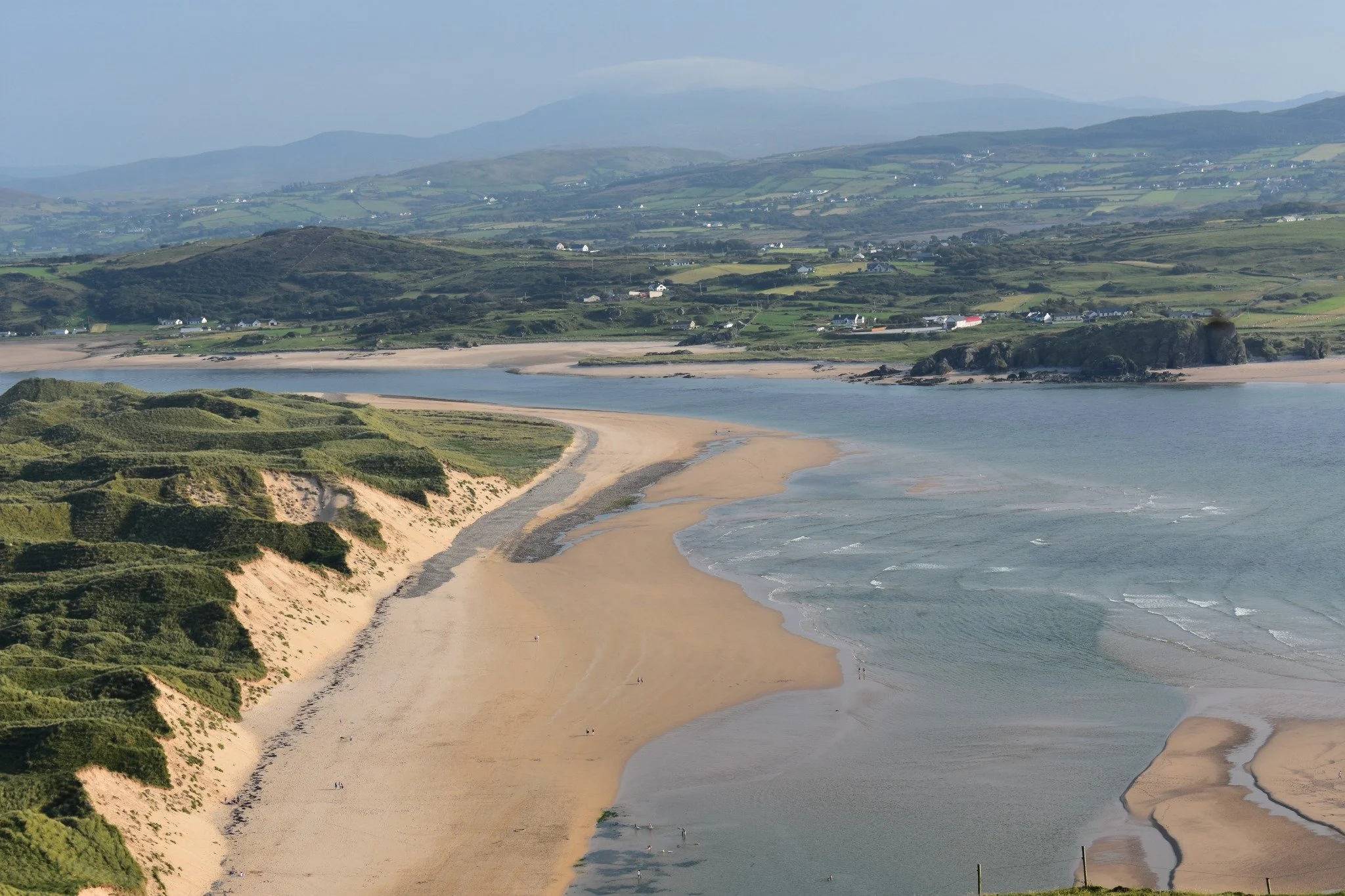
Five Finger Strand and its dunes, seen from Knockamenny Bens. Photograph by Jennifer McLaughlin-Doherty.
It’s a story I’d want you to hear while you can see the dunes for yourself. There’s a documentary trail at Lagg too. Bonner notes a reference to a church in 1605 and says a map of Inishowen from about 1660 marks a church here. The white chapel you see from the Bens today dates to 1784.
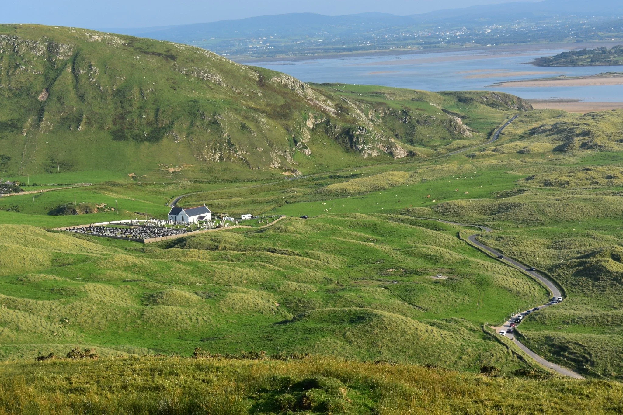
St Mary’s Church and graveyard at Lagg, seen from Knockamenny Bens. Photograph by Jennifer McLaughlin-Doherty.
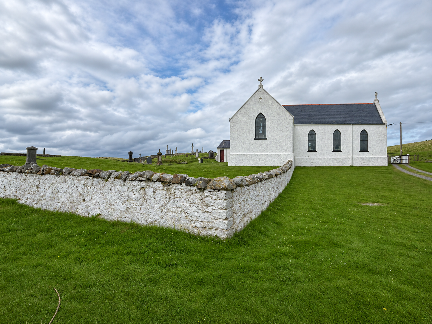
St Mary’s Church and its churchyard wall at Lagg. Photograph by Jennifer McLaughlin-Doherty.
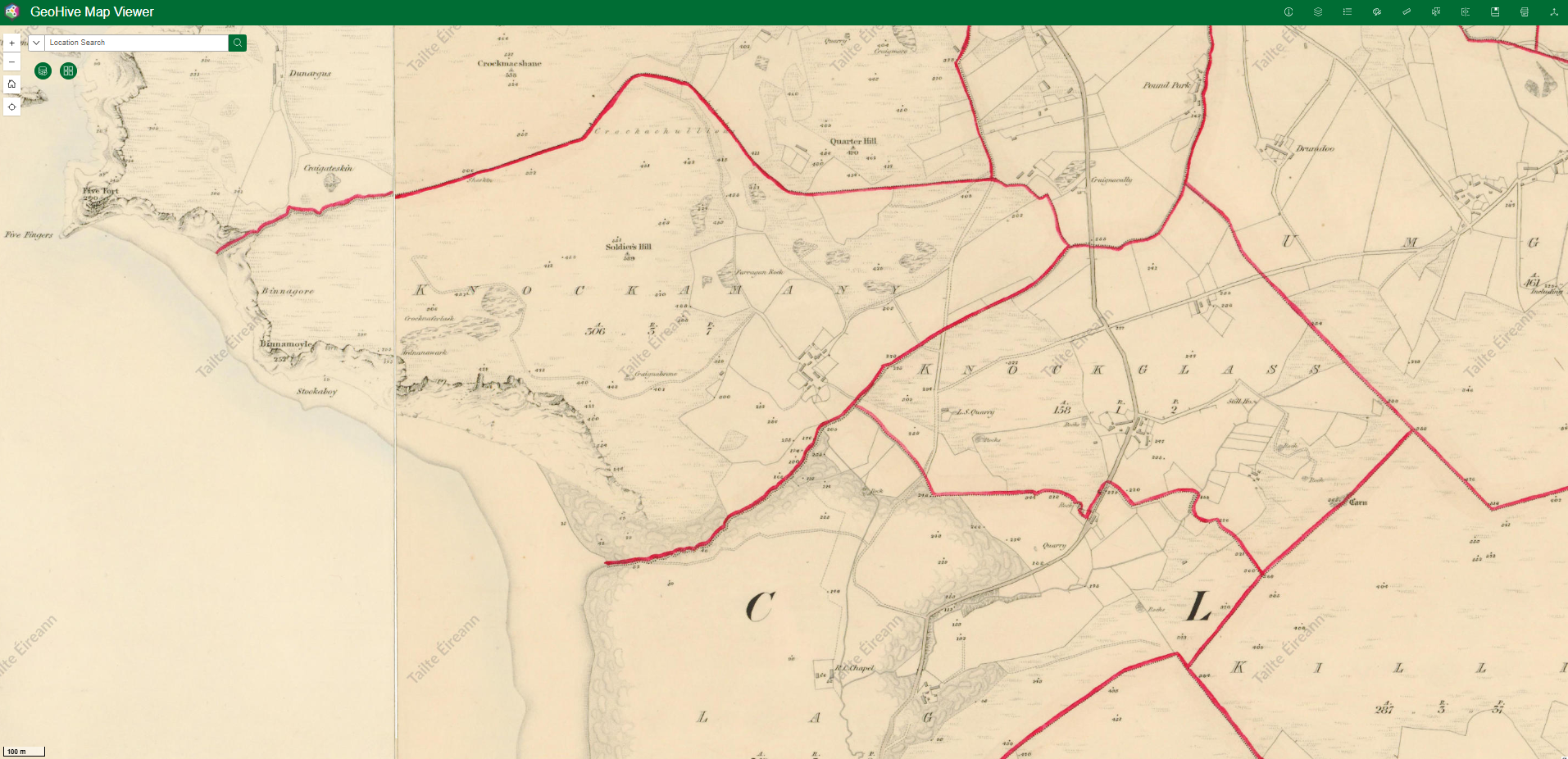
Look for “R.C. Chapel” near the bottom of this historic six-inch Ordnance Survey map. That’s St Mary’s at Lagg. The map uses the spellings “Lag” and “Knockamany” and marks “Five Fingers” just off the coast.
Map credit to Tailte Éireann, GeoHive
Enter Badger and Bounce
John McGonagle was working in the construction industry when he bought land at Knockamenny in 2014. A conversation about alpaca trekking set him thinking, and in March 2019 he brought home his first two alpacas from County Tyrone. Their names were Badger and Bounce.
That same year, John, his wife Patricia and their sons Danny, Shaun and Aidan started Wild Alpaca Way. John and his sons now take visitors out on the hill on these decidedly unique walks. They cater for all levels of fitness and what I particularly love is that you can go at your own pace to enjoy the sublime scenery, hear the local stories and take those all important photos or videos! You have time to pick out the church, see where the bay narrows and watch the light change across the strand. If your alpaca decides to stop for a look around…well, there are worse places to wait! These wonderful companions are a surpise bonus and they never fail to raise a smile from the many people that have visited over the years.
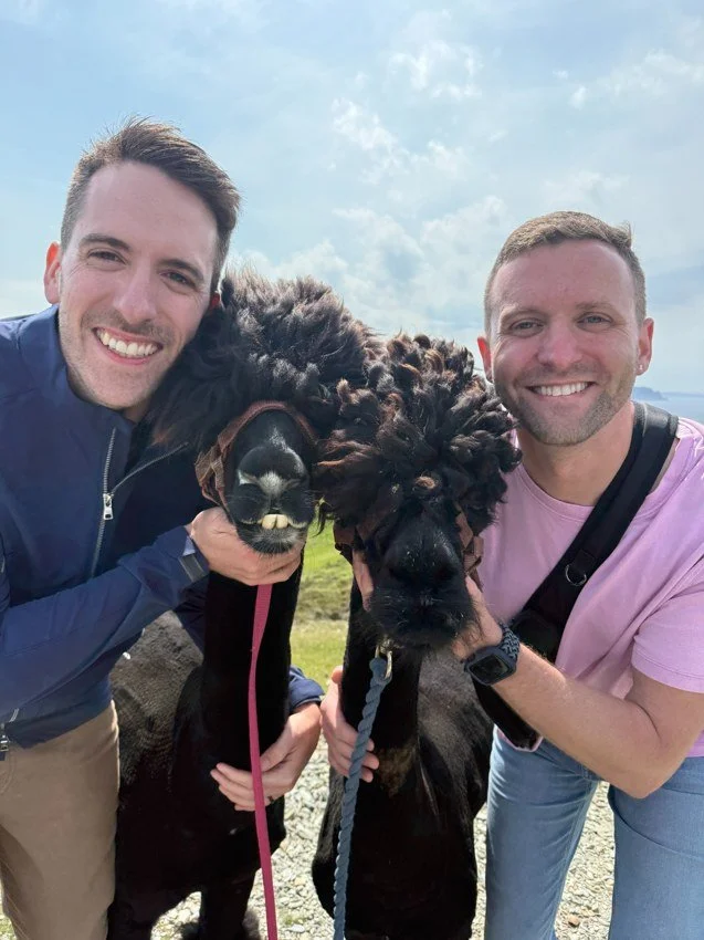
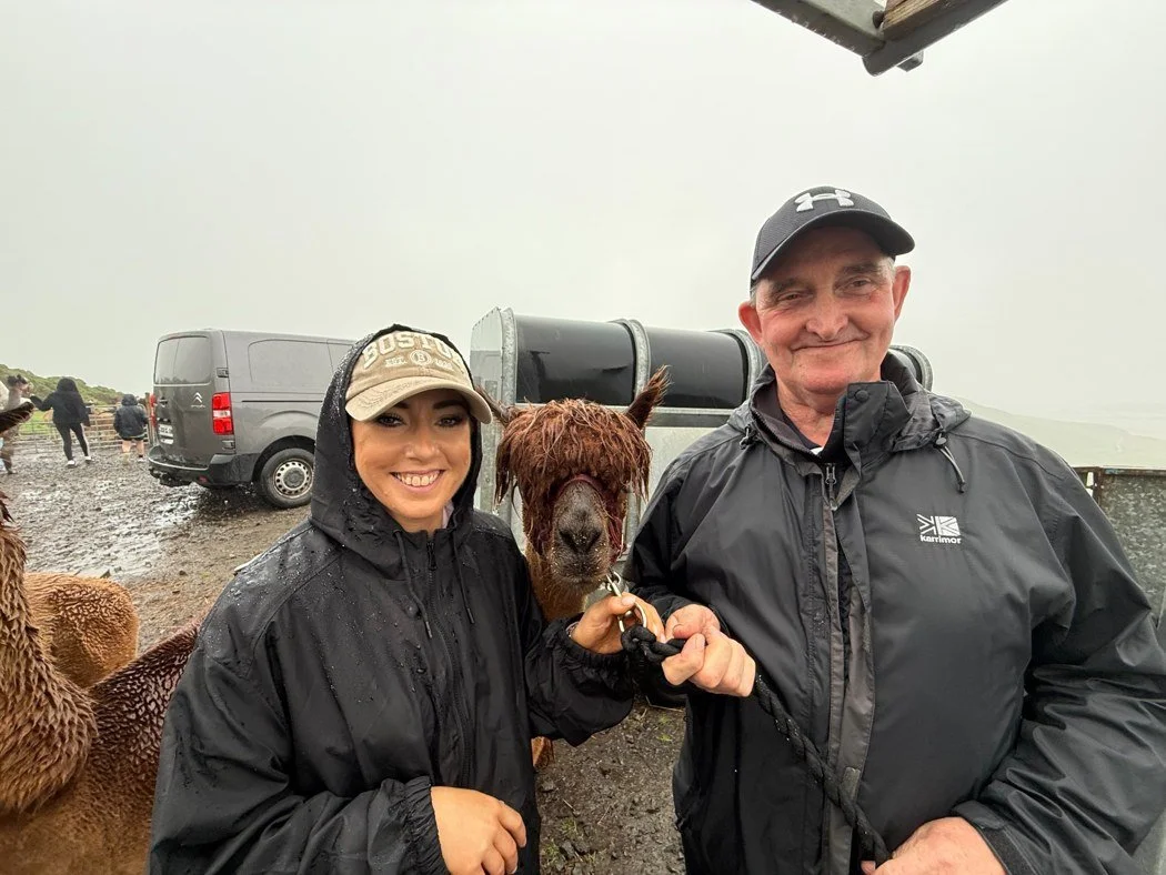
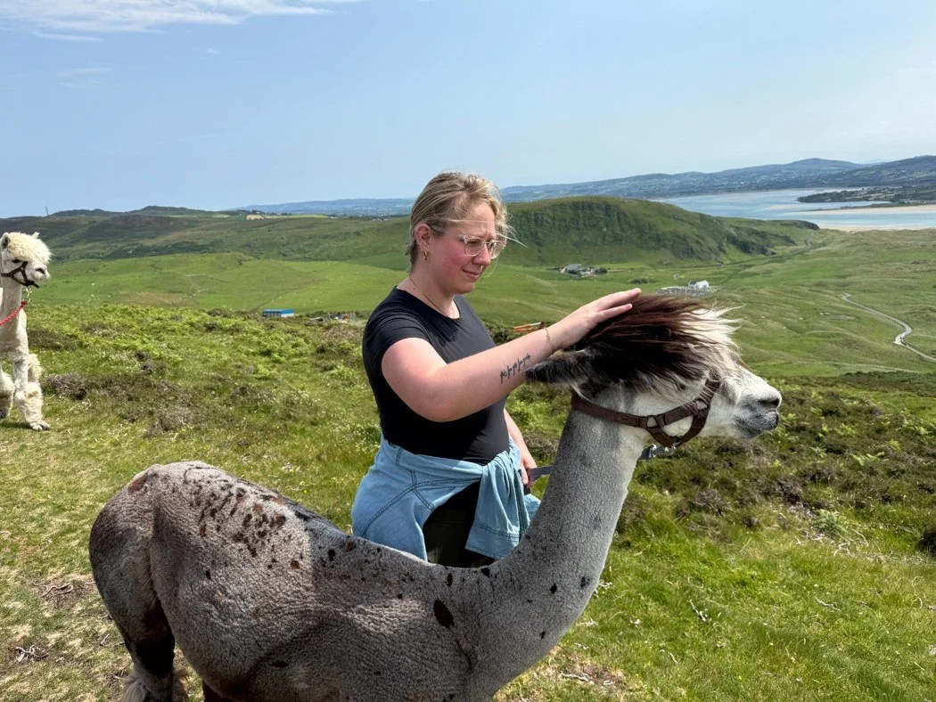
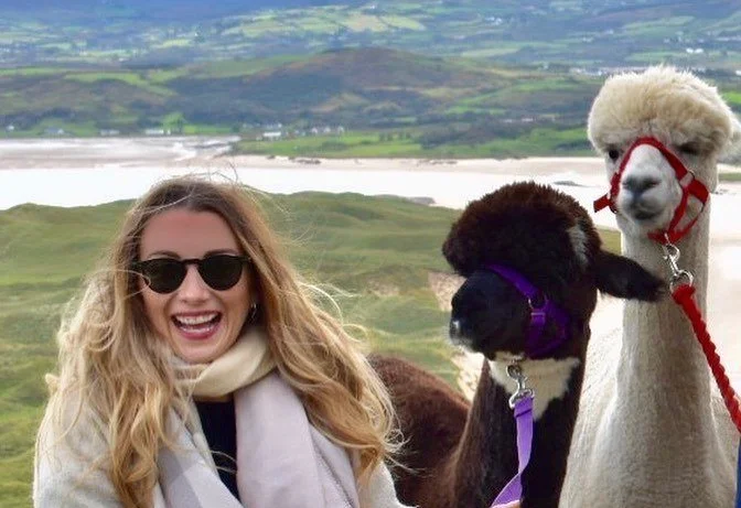
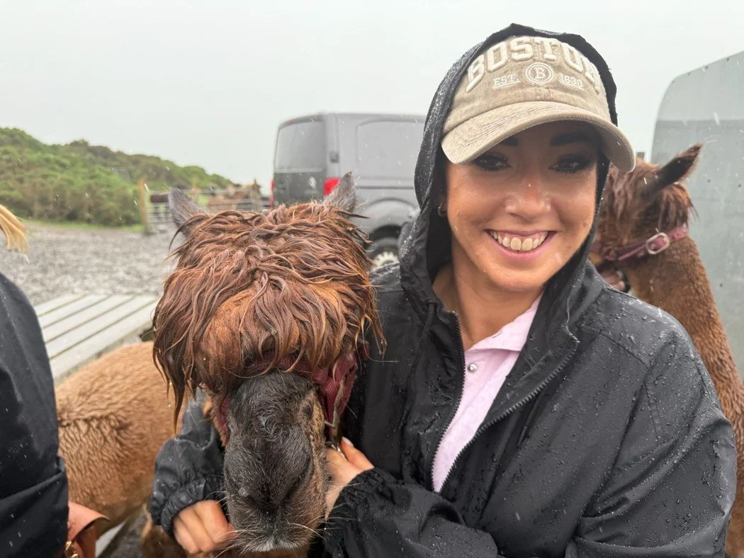
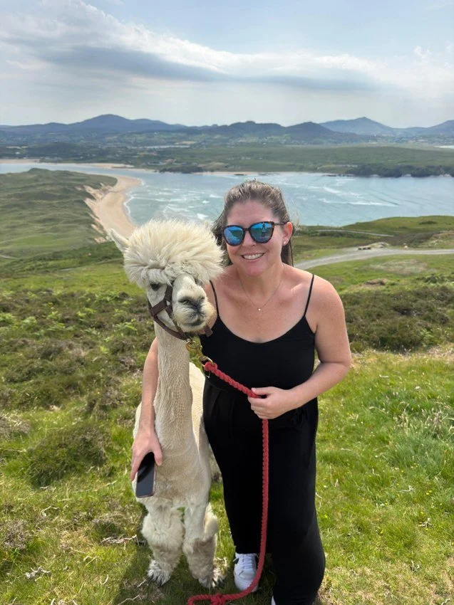
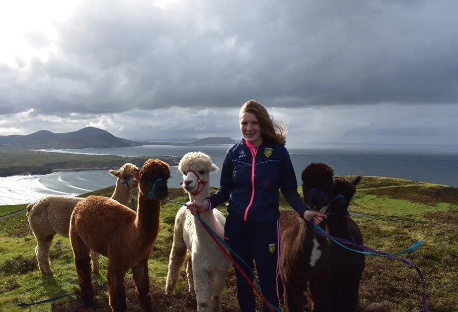
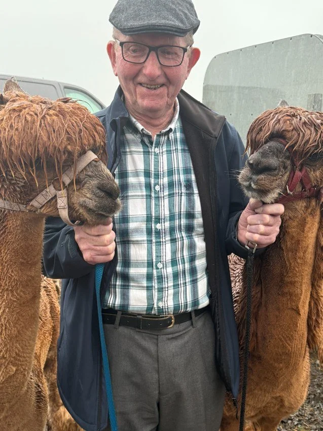
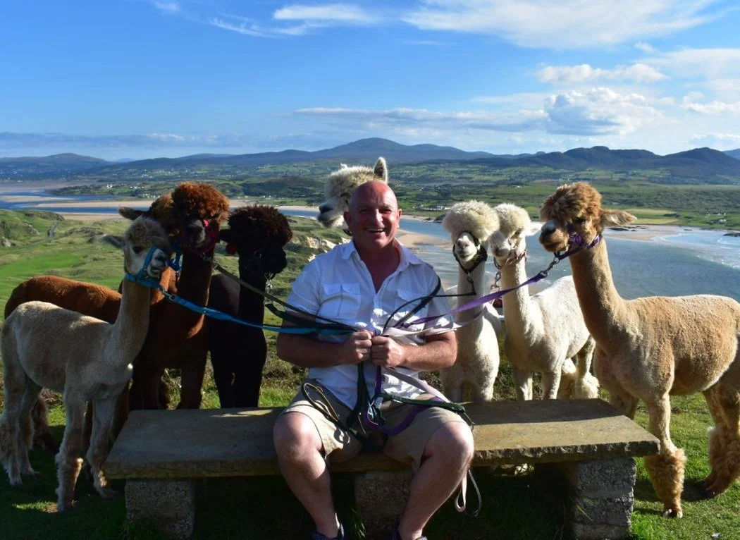
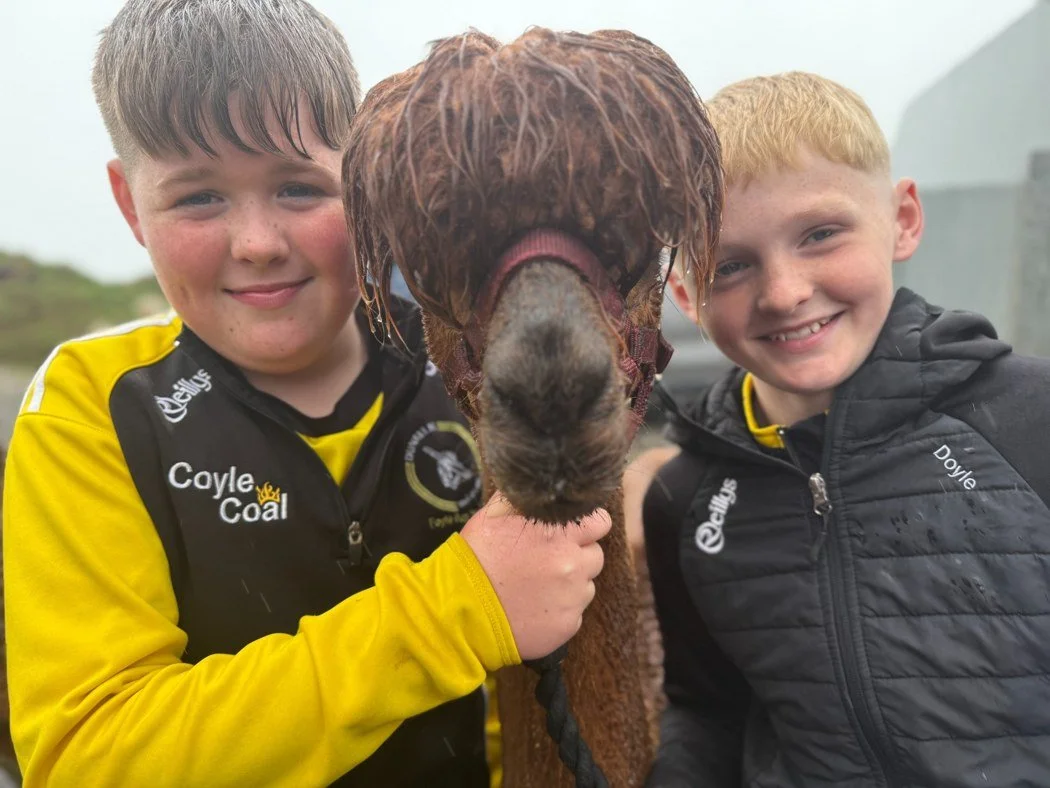
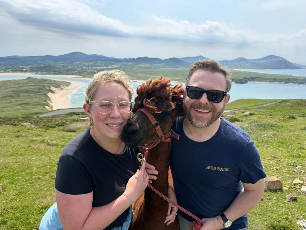
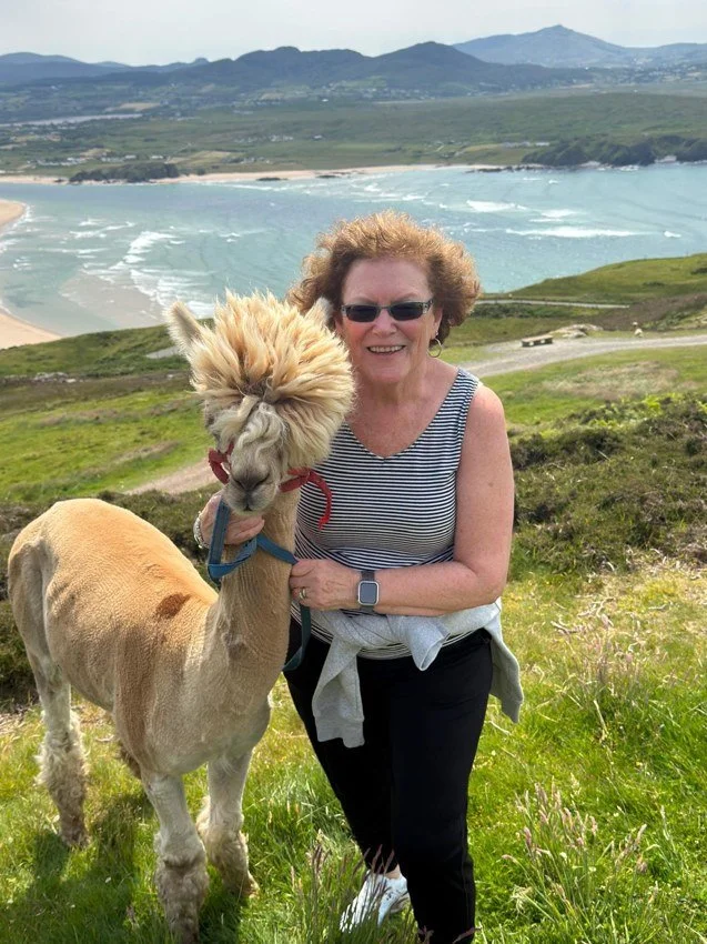
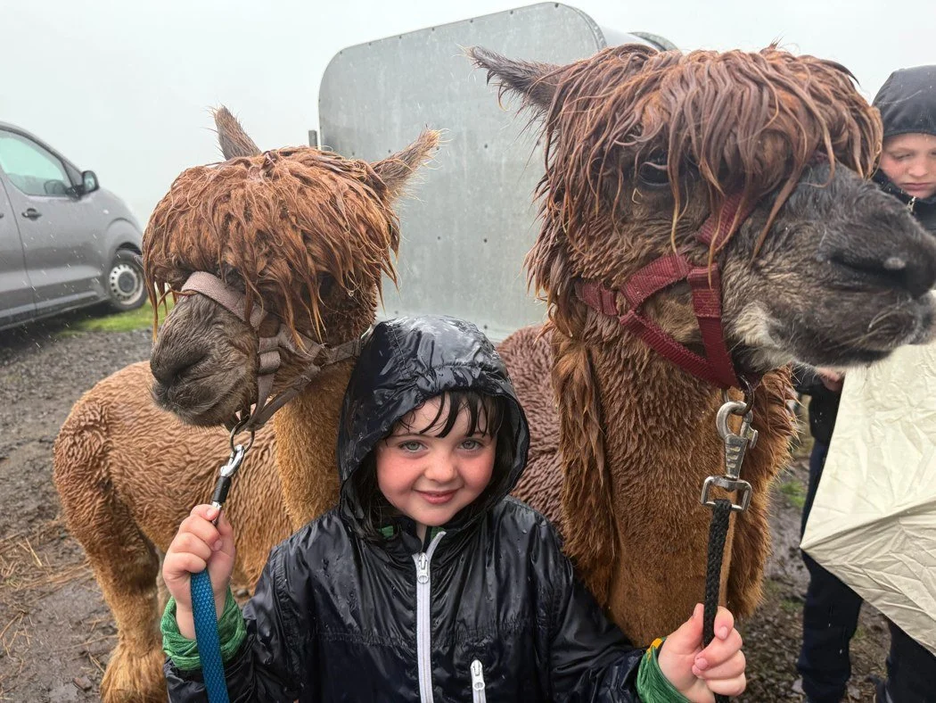
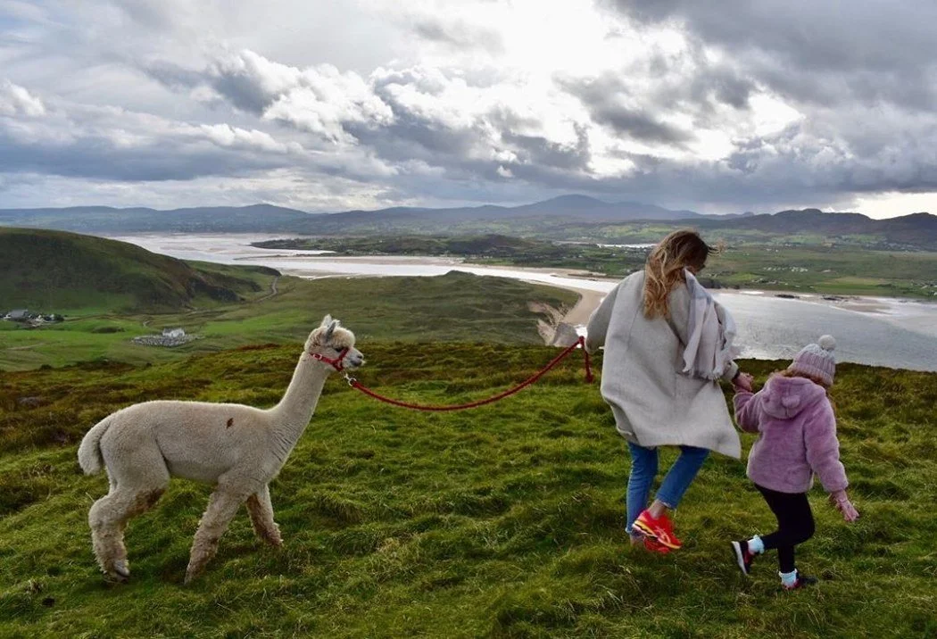
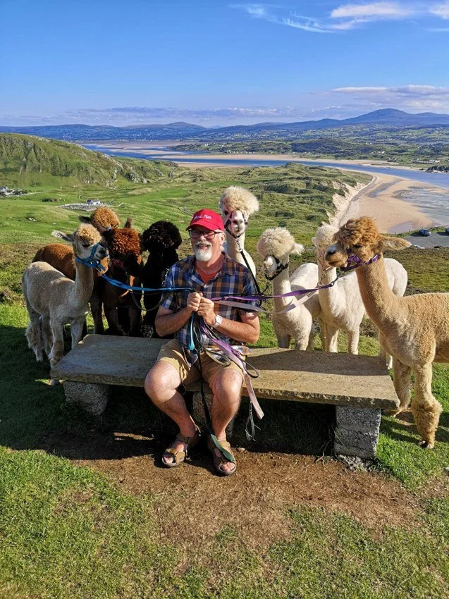
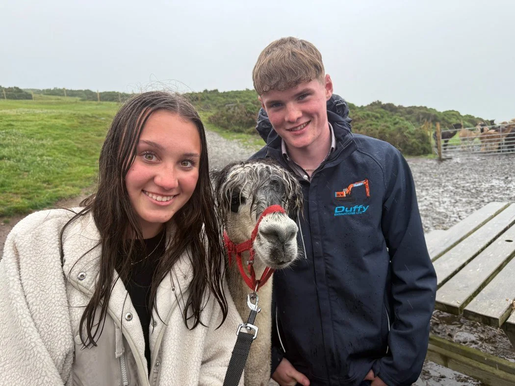
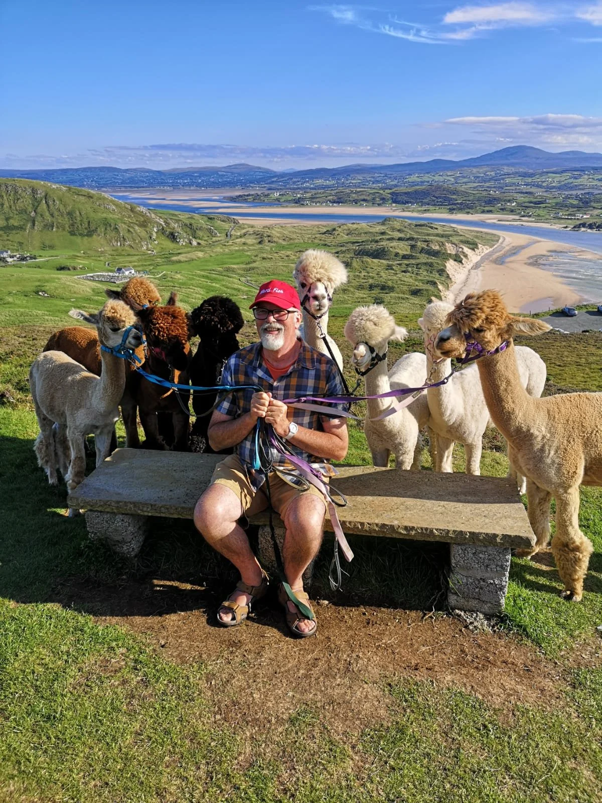
Taking a break on the Bens with Wild Alpaca Way. Photograph by Jennifer McLaughlin-Doherty.
When touring the Inishowen Peninsula with my guests, I make sure to add a visit to Wild Alpaca Way to our itinerary. It’s a favoured excursion with Inishowen Clann Connections and very much also part of the Peninsula’s Spiritual Trail. One of these stops also features on our recently launched Twelve Days of Irish Discovery, one of our scheduled Tours of Ireland in 2027. When we get up onto the Bens, I’ll point out the church at Lagg. By then, you’ll know where to look.
If your people came from Malin, Lagg, Killourt or Greallach, I’d love to hear which names and stories made their way down through your family.
Researched, written and compiled by Jennifer McLaughlin-Doherty.
All photographs by Jennifer McLaughlin-Doherty.
Bibliography
Bonner, Brian (1984). Our Inis Eoghain Heritage: The Parishes of Culdaff and Cloncha. 2nd ed. Pallaskenry: Salesian Press Trust, pp. 53–58 and 79–82.
Donegal County Archives (2014). Malin Head: An Enchanting Place, A Colourful Past. Lifford: Donegal County Archives, pp. 16–18.
Harkin, Michael (Maghtochair) (1867). Inishowen: Its History, Traditions, & Antiquities. Londonderry: The Journal Office. Cited in Donegal County Archives (2014), p. 18.
Irish Record Commission (1829). Inquisitionum in Officio Rotulorum Cancellariae Hiberniae Asservatarum Repertorium, vol. II. Dublin: His Majesty’s Printers. Appendix B, Co. Donegal, Lifford inquisition of 1609.
Ordnance Survey (n.d.). Six-inch Ordnance Survey map of Knockamany and Lag. Tailte Éireann.
Woulfe, Patrick (1923). Irish Names and Surnames. Dublin: M. H. Gill & Son. Entries for Ó Dubháin and Ó Maolmhochóir.

